How to hike in Machu Picchu?
The vast majority of the photos of the Historic Sanctuary of Machu Picchu present impressive images of the mountains that surround the Inca city with peaks as iconic as the own archaeological zone. Few tourists know that there are several short hiking routes in the Inca citadel. The most famous routes lead to Huayna Picchu Mountain, Huchuy Picchu Mountain, Inca Bridge and more. Find out which hiking routes are available in Machu Picchu!
- What hiking options exist within the Inca city of Machu Picchu?
- Hiking route to Intipunku or Sun Gate
- Hiking route to the Inca Bridge
- Hiking route to Huayna Picchu mountain
- Hiking route to Machu Picchu mountain
- Hiking route to Huchuy Picchu mountain
- Where can I get the classic postcard photo of Machu Picchu?
How to visit Machu Picchu without walking a lot?
Although there are hiking routes available in Machu Picchu, most visitors visit on foot for approximately 2 hours. This circuit is carried out little by little, getting to know Inca constructions such as the Temple of the Sun, the Main Temple, the Sacred Rock and more. For older adults there are shorter circuits in the lower part. That is, Machu Picchu can be visited by everyone.
What hiking options exist within the Inca city of Machu Picchu?
- In the surroundings of Machu Picchu we can find important archaeological sites among which we can mention the Intipunku or Gate of the Sun, the Temple of the Moon, the Inca Bridge and all the mountains that surround the Inca citadel (Huayna Picchu mountain , Huchuy Picchu mountain, Machu Picchu mountain).
- In addition to the hiking routes within Machu Picchu, there are other walks such as the Inca Trail of 4 and 2 days. These hiking routes lead to the Inca citadel along the qhapac ñan, a route of several kilometers until reaching the Intipunku, the Gate of the Sun.
- To visit these places, it is necessary to have additional time for the circuit around the archaeological site. The company of a professional guide is optional. On some paths there are ascending sections of stone, steps bordering abysses and more.
- Currently some hiking routes are closed to the public, such as: the Intipunku (starting from Machupicchu) and the Temple of the Moon (located within the Huayna Picchu mountain).
Hiking route to Intipunku or Sun Gate
- The Intipunku or Gate of the Sun is located 1 kilometer southeast of the Inca city of Machu Picchu.
- It corresponds to the stone settlement that protected the city. It contains liturgical altars, portals built at intervals, called ‘ritual stations’ by the explorer Hiram Bingham.
- The Intipunku has floating environments and causeways, made up of the platforms that emerge from one side of the mountain.
- The Intipunku was the entrance gate to the Inca citadel in the times of the Incas. From there you have a panoramic view of the entire archaeological complex.
- A few years ago it was allowed to enter Intipunku starting from the Inca citadel of Machupicchu. The route is 1 kilometer uphill. After the visit, we return to the Inca city.
- Unfortunately, the hiking route to Intipunku from Machu Picchu is not allowed today. The only way to visit it is through the Inca Trail for 2 or 4 days.
Hiking route to the Inca Bridge
- The Inca Bridge demarcated one of the limits of Machu Picchu. It is made of a wooden trunk on a solid base of stones. The bridge could be removed in case of invasions by rival towns.
- This route represents some danger due to its geographical location. The path to this Inca construction begins in the Recinto de los Diez vanos, located south of the City of Machu Picchu.
- The road is a narrow path deliberately made on the side of a rock mountain. The path covers approximately two kilometers. At one of the curves the bridge is interrupted, giving rise to a large precipice, where the Incas decided to build a drawbridge made of tree trunks.
- These stones fit perfectly into the crevices built for this purpose, so that it would not be inconvenient to remove them, to prevent passage in case of any threat..
- The hiking route to the Inca Bridge lasts approximately 30 minutes. It is allowed only with the ‘Machu Picchu + Inca Bridge’ ticket.
Hiking route to Huayna Picchu mountain
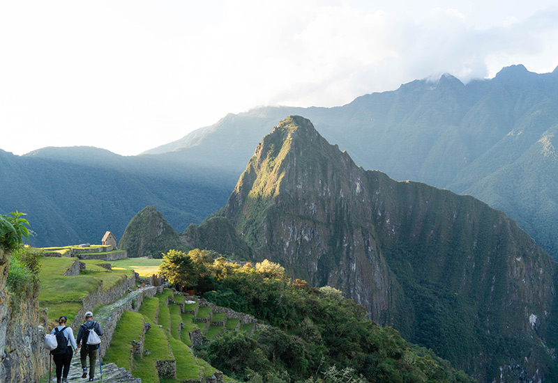
- The Huayna Picchu mountain is the summit that stands out in the classic image of Machupicchu.
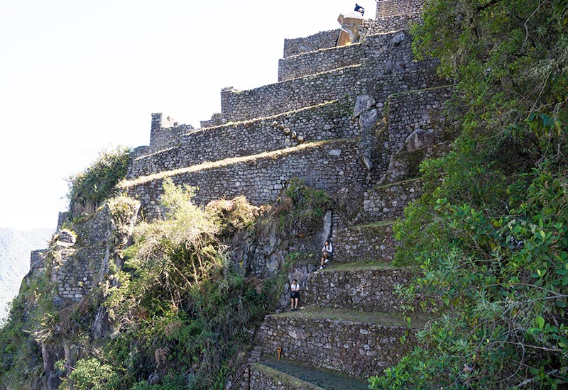
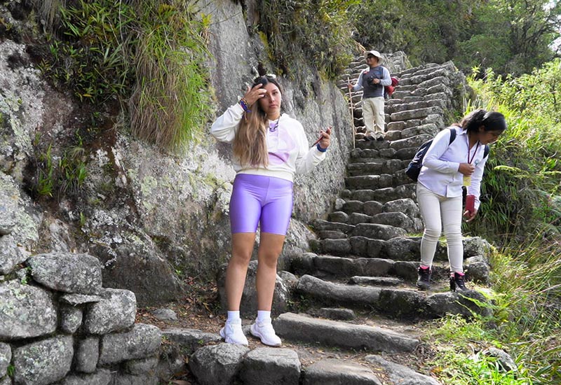
- On this mountain the Incas built roads and stone stairs to reach its summit and worship their gods. From there, you also have a panoramic view of the Inca citadel.
- The summit of Huayna Picchu is located at 2,693 meters above sea level. That is, its highest point is more than 200 meters higher than the Inca citadel.
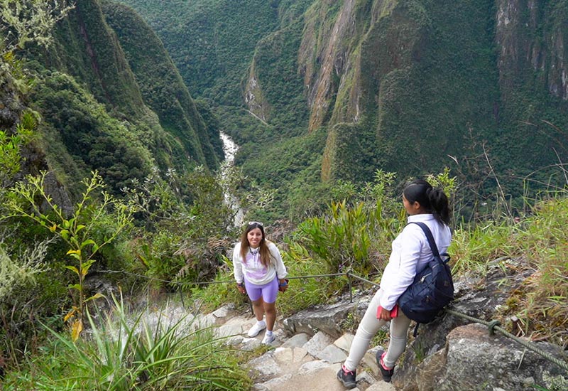
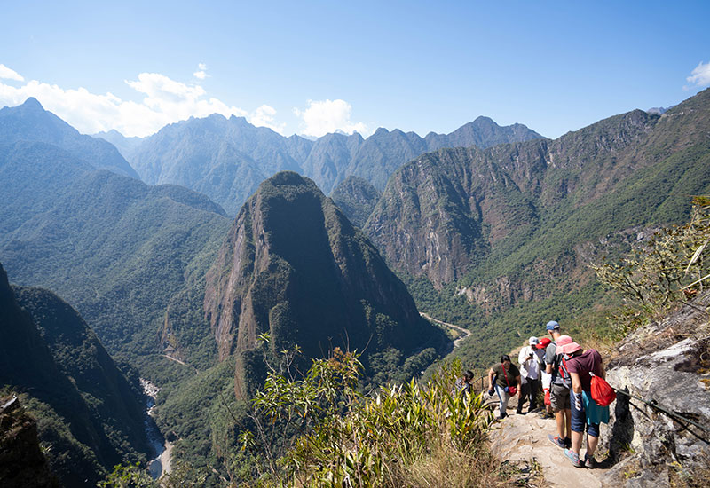
- The hike to the top of Huayna Picchu is approximately 2 kilometers long and has an altitude gain of about 300 vertical meters. The trail is quite steep, it has some sections where hand ropes are necessary to balance on very narrow paths, with chasms that produce vertigo.
- On one of the slopes of the Huayna Picchu mountain there is an Inca temple, called ‘Temple of the Moon’ or ‘The Great Cave’. Unfortunately this route is currently closed to the public.
- To visit this mountain you have to choose the ‘Machu Picchu + Huayna Picchu’ entrance ticket. This ticket has limited availability so you need to purchase the ticket online 1 or 2 months in advance.
- Due to some narrow and steep sections, entry to the Huayna Picchu mountain is only allowed for tourists over 12 years of age.
Hiking route to Machu Picchu mountain
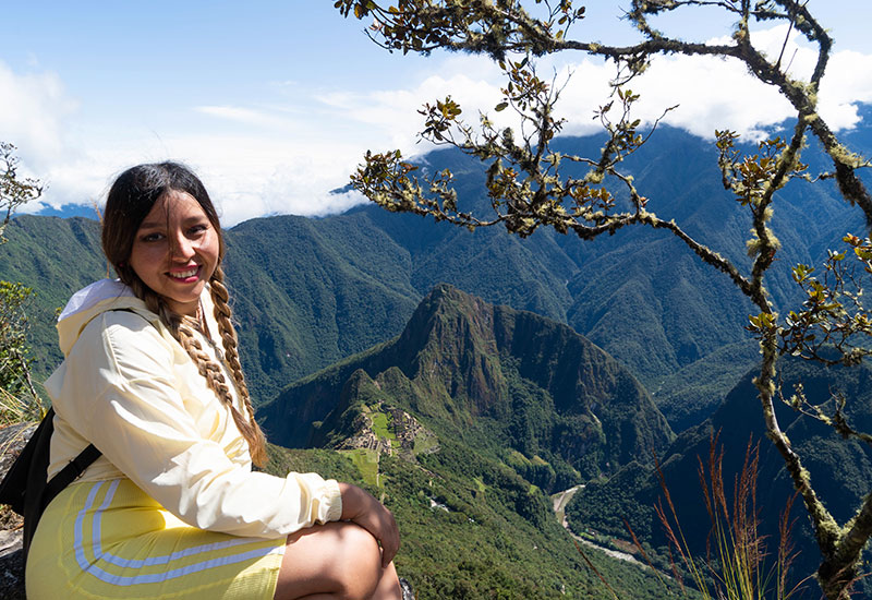
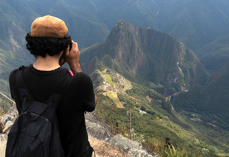
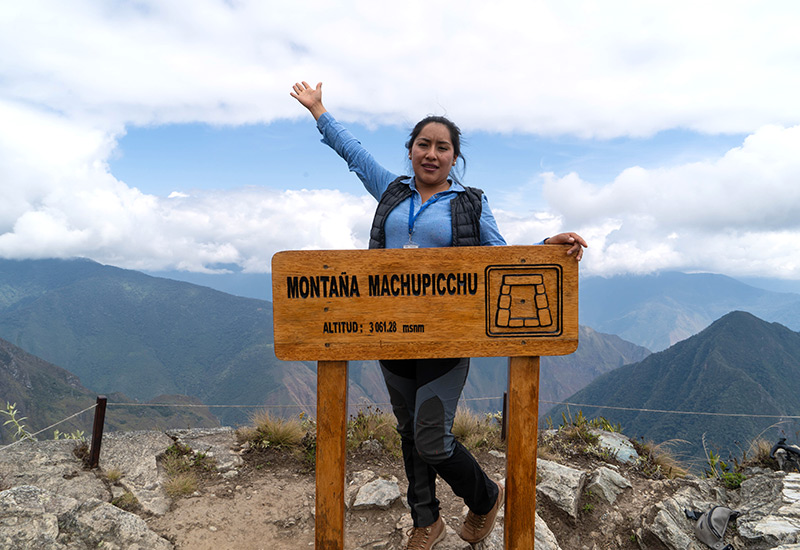
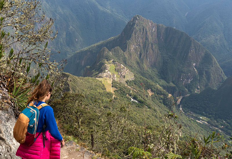
- Another excellent alternative if you enjoy hiking, although less popular, is hiking Machu Picchu Mountain. This mountain, the highest in Machupicchu, is located at 3,082 meters above sea level. That is, about 600 meters higher than the Inca citadel.
- This is a peak on the opposite side of the archaeological zone of Machupicchu, which can be accessed by following the last section of the Inca Trail (qhapac ñan) in reverse.
- In the Machu Picchu mountain, you will have long periods of time without seeing anyone, something very rare in the Huayna Picchu area, where there are sections that have to be used in turns, due to the large number of people who venture to this mountain.
- Unlike Huayna Picchu, the Machu Picchu mountain does not have stone temples, but this is compensated by a landscape accompanied by wild orchids and birds that highlight the path.
- The path is longer than Huayna Picchu since the route is approximately 2 hours 30 minutes (2 kilometers). The paths are not as steep, but they are longer. The view from its summit is the most panoramic that exists in all of Machupicchu.
Hiking route to Huchuy Picchu mountain
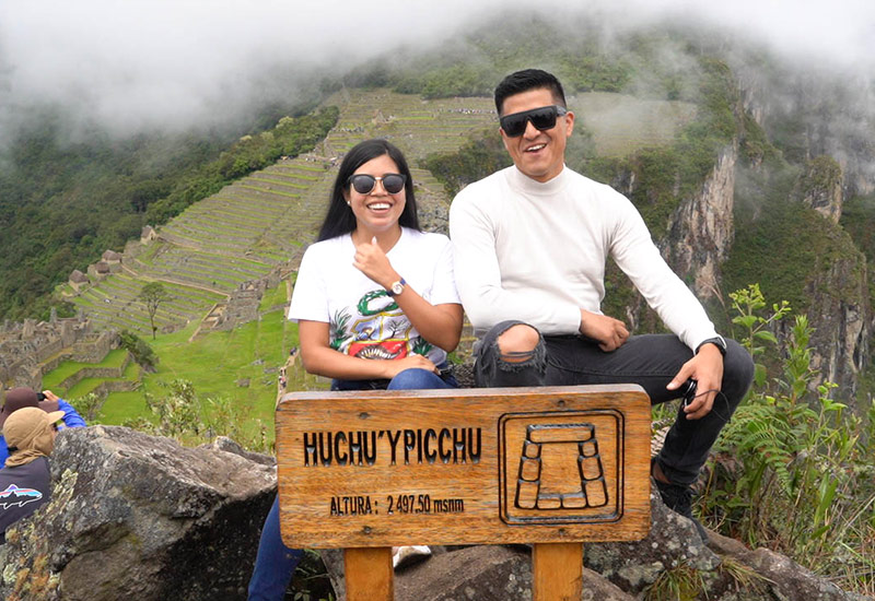
- The Huchuy Picchu mountain is, in reality, a spur of the Huayna Picchu mountain located at the highest point. Huchuy Picchu, translated from the Quechua language, means ‘small mountain’. And its summit is at 2,497 meters above sea level, about 50 meters higher than the Inca citadel of Machupicchu.
- Unlike the high mountains Huayna Picchu and Machu Picchu, the hiking route to Huchuy Picchu mountain is short. It is a walk of approximately 30 or 40 minutes. The entrance gate is the same as Huayna Picchu (there is a detour that separates both routes).
- The hike to Huayna Picchu is along stone stairs. There are beautiful viewpoints, but at the highest part is the main one. From there you have a beautiful landscape view of the archaeological site and its stone buildings.
- To visit this small mountain you must purchase the ‘Machupicchu + Huchuypicchu’ ticket. This ticket must be purchased online approximately 2 or 4 weeks in advance.
Where can I get the classic postcard photo of Machu Picchu?
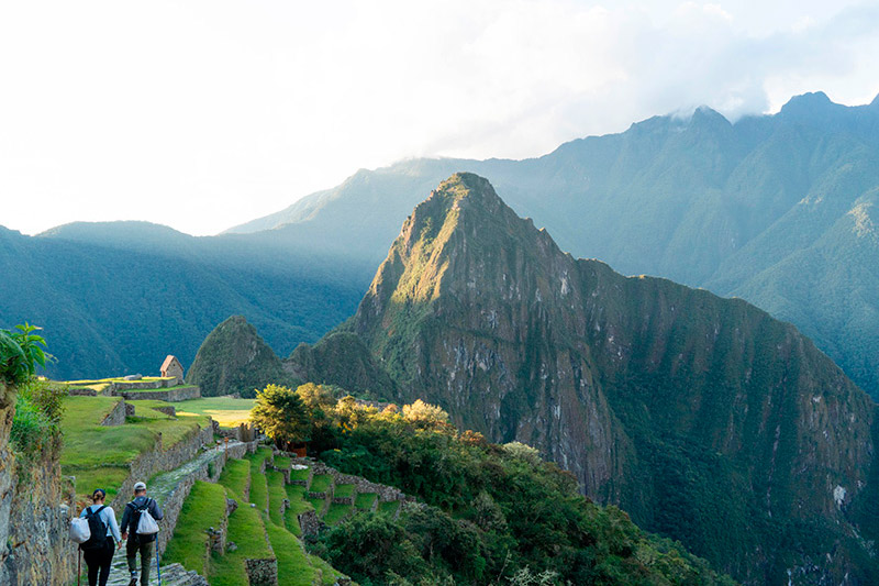
- There are many visitors who wonder how to get their own classic postcard of Machu Picchu, with the Sanctuary in the background and the landscape that surrounds it. Questions about the exact place to take this postcard photo and if it is necessary to ascend one of the mountains to obtain said photo. We give you the necessary information so that you can obtain your photo postcard with the entire Inca City of Machu Picchu without problems.
- It is true that you must walk to reach the point that will offer you this view; However, the section is not long or tiring, and you do not have to ascend any of the mountains, you just have to reach the Guardian House sector.
- Getting to this site does not represent any difficulty, nor does it require too much physical effort, which will make getting this photo not complicated at all.
- The first thing you will need to do is choose one of the following entrances to Machu Picchu: a) Machupicchu Only ticket, b) Machupicchu + Inca Bridge ticket or c) Machupicchu + Mountain ticket.
- All these routes allow you to visit the Guardian House sector and get the dream photo in Machu Picchu.
- The hiking routes to Machu Picchu do not allow that famous photo, but they do allow panoramic photographs from a very high point of view.
Advice from people who have been there
 By: By: Caroline V. (Colombia)
“Inca Dream!“
“It was very difficult to climb Huayna Picchu, but I managed it with effort. The view from the top of the mountain is something I will never forget. I recommend bringing a rain poncho because I didn't and I got wet. Thanks to “Machu Picchu Ticket“
By Ticket Machu Picchu – Last updated, August 15, 2024
